
|
|
||||||||
|
|
Historic Images of Hunterdon County |
Kingtowm
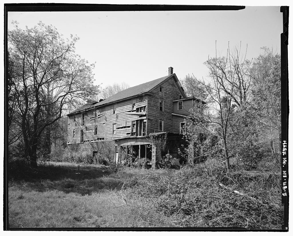
 Kingtown Mill - north and east elevations - Lower Kingtown Road - approximately half a mile east of intersection with Pittstown-Clinton Road - Kingtown vicinity - HABS
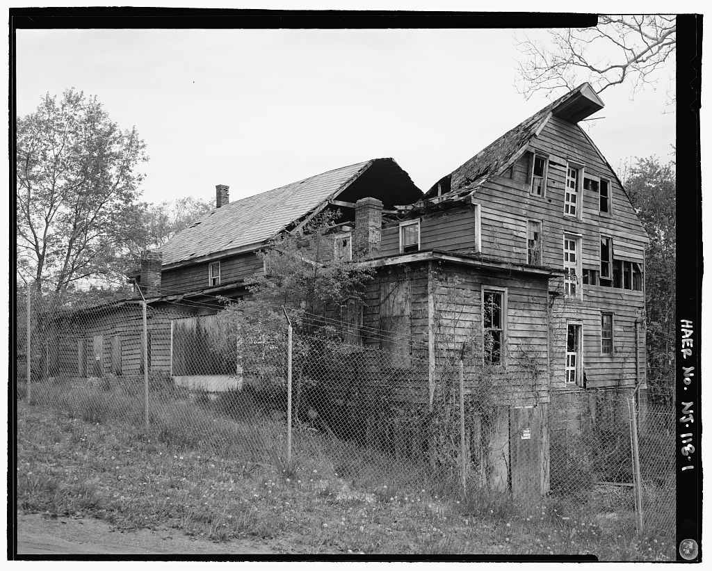 Kingtown Mill - south and east elevations - Lower Kingtown Road - approximately a half mile east of intersection with Pittstown-Clinton Road - Kingtown vicinity - HABS
 Kingtown Mill - west elevation - Lower Kingtown Road - approximately half a mile east of intersection with Pittstown-Clinton Road - Kingtown vicinity - HABSPhoto Album Software by VisualLightBox.com v3.1m
 |
Copyright 2002-2013 West Jersey History Project